Hurricane Ida
 As Hurricane Ida first made landfall, the storm’s core packed a punch, flattening houses that had previously survived Katrina. WeatherFlow’s Hurricane Network measured gusts of up to 172 mph showing that Ida was an extremely dangerous hurricane as it headed towards Baton Rouge. The forecast for New Orleans suggested it would be spared hurricane conditions.
As the storm tracked across the Bayou, a process known as an eyewall replacement cycle, where a hurricane spreads its concentrated eyewall energy over a broader area, was taking place in the depths of the storm; it became apparent that New Orleans was increasingly under threat.
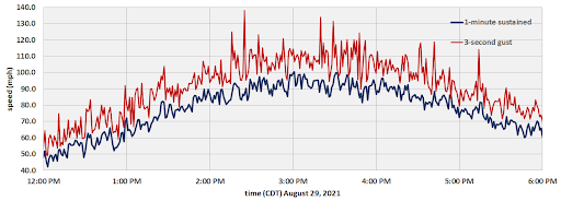
“We noticed something odd happening,” says Jay Titlow, Weatherflow Network’s Chief Meteorologist from the company’s storm operations center. “As the storm came off the Bayou for its second landfall near Houma, LA, the eyewall was no longer packing its previous winds, rather we were observing hurricane-force winds in excess of 100 mph in a second, larger eyewall at our weather stations in Dulac and Galliano that flanked the storm. We were also seeing some very destructive gusts in excess of 130 mph.”
Eyewall replacement cycles are a phenomenon reserved for hurricane intensification processes over warm ocean waters and are extremely rare occurrences once a storm has made landfall. WeatherFlow Networks’ array of hurricane-hardened weather stations, in partnership with the Florida Coastal Monitoring Program’s deployable towers, were in the prime locations to capture this event.Read more>>>